If you own a smartphone, tablet, or mobile device, you can be easily geolocated, or rather your device can be. Geolocation is a tool that is used to track the locations and movements of people. Geolocation can also be used as a handy tool to every owner of wordpress site that deals with travel and want to display routes on maps.
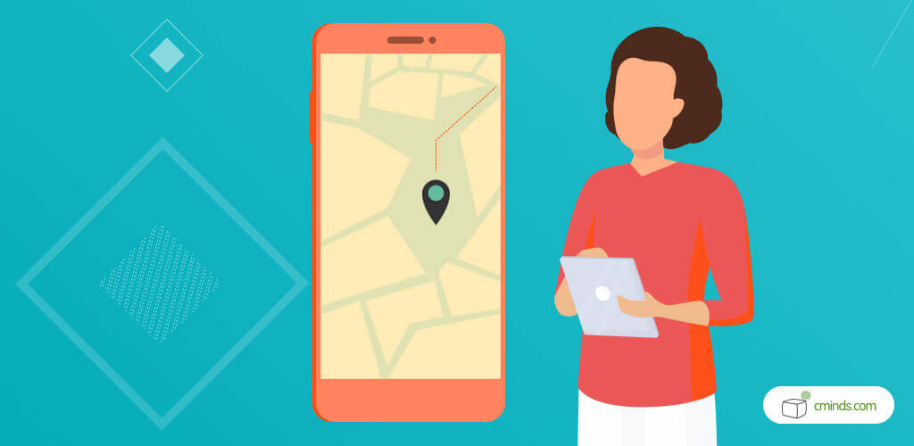
Geolocation is defined as the geographical location of an Internet-connected device, or the exact latitude and longitude of that device. When your device is connected to the Internet, the phone’s exact location can be tracked.
For example, say you were to drive to a store and leave your phone in the car for thirty minutes while you shop. For that thirty-minute period, your phone’s geolocation history is the exact physical location of your vehicle
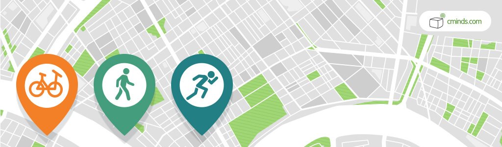
Many people who spend time outdoors doing activities like hiking, biking or boating rely on geolocation data transmitted through their Internet-connected mobile device to determine their exact locations during their outdoor activities.
Another device that is used for geolocation is a portable fitness tracker like Fitbit or Garmin smartwatches. When you wear your fitness tracker on your wrist, your geolocation is exactly wherever you walked while wearing it.
July 2026 Offer – For a Limited Time Only:
Get Map Routes Manager Plugin for 15% off! Don’t miss out!
How Geolocation Works
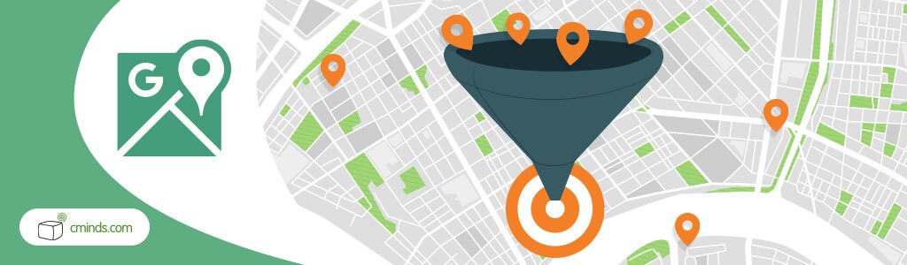
Geolocation data is collected in three different ways. It is collected through device-based collection, server-based data collection, and combined data collection.
In order for geolocation to be possible with device-based data collection, there are several systems that need to work together to make it happen.
All mobile devices, fitness trackers, and smart devices have a GPS chip inside of them. This chip allows for device-based data collection.
The GPS chip tracks your specific location, and that location is picked up by the nearest cellular network system. This pickup results in your geolocation data.
The geolocation data will be more accurate if the area you are in is more densely populated.There are more people, more GPS chips, and more cell network towers to pick your location.
Having more cell towers pick up a location is called triangulation, and there are more location data available to figure out your exact location at any point in time.
In more rural areas or places with low population density, there are far fewer cell towers to pick up a location. This means there may be delays in location data as your location won’t be picked up until you move closer to a cell tower.
Also, in order for geolocation to work on a mobile device, the location-based services need to be enabled within the phone’s settings. This also needs to be enabled with using specific applications on the phone as well.
For server-based data collection, your geolocation is determined through your device’s exact IP address and WiFi connection. Basically, when you visit a website, that website uses the IP address to estimate your geolocation.
When you visit a website, many times there will be a pop-up window that explains that you need to allow the website to determine your exact location and save that data. Usually, you cannot use the website until you agree or accept it.
Or have you ever searched for a specific product online by using a search engine, and then you go to another website or social network and immediately see an ad for that product?
This is how your IP address and data work together to improve your overall user experience.
Combined data collection is actually when both device-based collection and server-based collection are used at the same time. Device-based collection is the most accurate and best for populated areas.
Server-based collection is the least invasive form of geolocation, and the IP address is sent to a location closest to the nearest proxy server location, not your location.
However, sometimes both of these methods don’t work well, so a website will use both in an attempt to collect any data it can, rather than collecting zero data.
Uses For Geolocation

Geolocation is used for all sorts of reasons. It’s used for security reasons by protection agencies to track things like ankle bracelets or aircraft.
It’s also used in mobile gaming applications like Pokemon Go, where your location determines the game’s level of interaction with you.
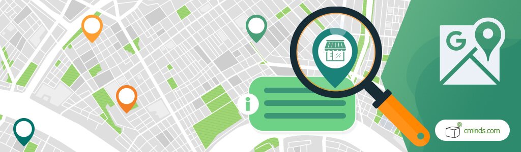
Geolocation is used to see location history, track elevation changes, plot courses, get weather updates, and post images to social media, among other things.
There are many instances in our daily lives where geolocation is enhanced. Businesses can easily see how many customers are visiting their stores or websites, doctor’s offices can see where patient demand is and provide more services accordingly.
Routes Manager WordPress Plugin
The Routes Manager Plugin is the best known WordPress plugin for managing routes and trails. It allows users to display and share their routes and features integration with Strava, PeepSo and Buddypress, making it an ideal candidate for collaborative sites.
Users have the ability to create fully customized maps with route directions and geographic tags with route information, descriptions, and images.
Users can customize route markers and easily display interactive maps with additional location data like temperature readings for all locations.
All routes on the map index page can also use Google Maps shortcodes to create fully mobile responsive maps on your WordPress website.
There are six very different themes to choose from, including map, terrain, or satellite map views. It’s also possible to import and export map data with KML and GPX files for apps like Strava.
Importing multiple map routes with CSV files is also possible and navigation data can be imported from Garmin, Magellan, eTrex and other handheld GPS devices.
All map marker icons are customizable, including in groups of locations. Each user can manually draw map routes and make customized maps showing the best routes available.
Conclusion
The Map Routes Manager plugin by CreativeMinds uses geolocation data to build and track maps, map routes, and allow users to upload their maps and route data with Google Maps to social media websites and share them.
This Map Routes Manager plugin is an ideal choice for all types of wordpress travel blogs, hikers, and outdoor enthusiasts to display running, walking, or biking paths in different types of terrain.